DISCOVER
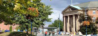
DERBY
Presented by the www.derbyshire-peakdistrict.co.uk website
|
DISCOVER |
|
|
DERBY |
|
|
Presented by the www.derbyshire-peakdistrict.co.uk website |
|
LITTLEOVER WALK
ABOUT THE WALK
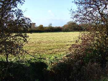
For most of this extremely pleasant walk, look one way and it will seem as if you are in the countryside, look the other and you will realize that you are on the edge of the city. The walk is approximately five miles in length and apart from during particularly wet weather is dry underfoot. There are a few gentle ascents and descents, but nothing strenuous. Starting point for the walk is the centre of the main shopping area on Burton Road at Littleover, which is south western side of Derby.
THE ROUTE
1. From the centre of the Littleover shopping area, walk in a westerly direction along Burton Road, until you come to Shepherd Street where you turn left.
2. A few yards after passing the entrance to Church Street, turn right along the path through the churchyard. Walk in front of the church and follow the path as it angles slightly to the left to leave the church grounds.
3. Continue in the same direction to reach the roadway down the side of the Old Thatched Cottage, in The Hollow.
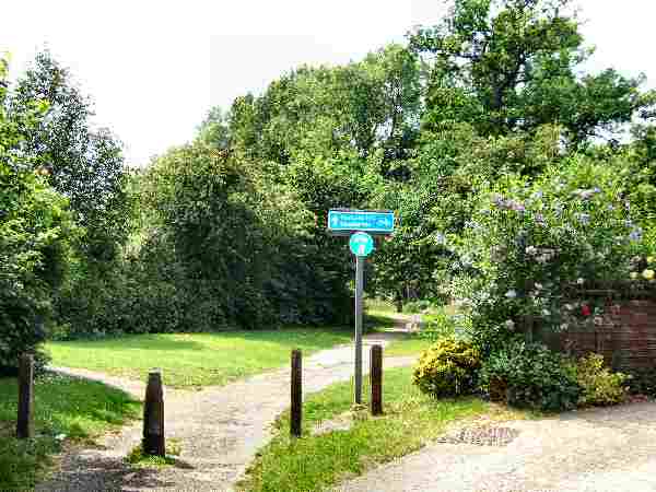
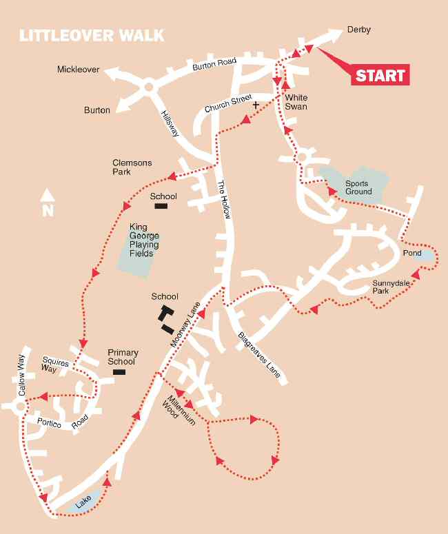
4. Turn left down The Hollow and then right, a few yards below the junction with Hillsway. Follow the path behind the bus shelter, keeping straight on when you reach Austen Avenue to enter Clemson’s Park along a surfaced path.
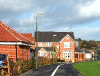
5. Maintain the same direction through the park, passing King George V Playing Fields, before the path eventually descends to reach Richmond Close and then Queensbury Close.
6. Go to left along Squires Way and follow it round to reach Maize Close, where you turn right and after a few yards keep straight on along an estate path.
7. At the end of the path turn left, with a roundabout in front of you, and after a few yards cross the road and continue straight on to reach a path that runs along the southern side of Heatherton.
8. Turn left along the path that takes you to Moorway Lane, which you cross, before walking to the left round a small lake and partially wooded area.
9. On reaching a point higher up Moorway Lane, cross the road, turn right and follow the path that is divided from the road by a hedge.
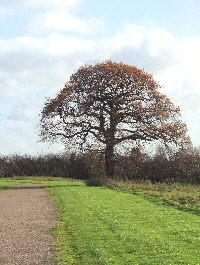
10. Shortly before reaching Derby Moorways Community School, go through the first opening on the right, cross the road, and follow a surfaced path, signed ‘Moorway Lane Open Space and Millennium Wood’.
11. When you come to a fork in the path, keep to the left and follow it as it loops round to return to the same point. Leave the area by the same path and turn right up Moorway Lane.
12. Turn right at the top of Moorway Lane, cross the road at the pedestrian crossing, and continue for short distance before turning left into Rowley Avenue.
13. A few yards after passing Rowley Gardens, go to the right down a footpath leading to Field Rise, cross the road and continue straight on before taking the path on your left for a short distance.
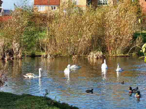
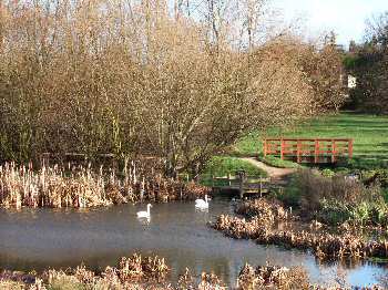
14. Turn right along a path which winds through the trees to reach Sunnydale Park, and follow the path round its edge until you reach a ‘T’ junction of paths where you turn first right and then left to take you round the pond.
15. On reaching the main path, turn right and follow it to Rosamund’s Ride, where you turn right and then left in 70 yards into Serina Avenue.
16. At the top of the Avenue, follow the path to the left of ‘Number 35’ and continue close by the hedge to Trafford Way, where you turn left and then right at the end.
17. After 100 yards, cross the road by a roundabout and continue forward up Normanton Lane. Twenty five yards past the White Swan, turn right up a driveway, where a footpath sign points to the left behind the houses, which you follow.
18. On reaching the end of the path, turn left along Park Lane and then right to return to the starting point of the walk.
Derby Home Page Back to the top of the Page
www.derbyshire-peakdistrict.co.uk is an independent, not for profit website.
No recommendation of any establishment is implied by inclusion on this website. All details on this page were correct at the time of publication, but changes may be made without notification.
|
PLACES OF SPECIAL INTEREST IN THE LOCALITY
Markeaton Park is probably the most popular park in the East Midlands with an estimated one million visitors per year to its numerous attractions and special events. The former Orangery, now a listed building, has been converted into attractive tea rooms, where weather permitting, visitors can sit outside and admire the superb flower beds. A craft village now occupies what were once the hall stables. It consists of a number of individual units selling a wide range of goods, where visitors can watch skilled craftsmen at work. The village is open throughout the year, but the times of opening of individual units vary.
Trent and Mersey Canal was designed by James Brindley from Derbyshire, who although he could not read or write properly was a brilliant engineer. It was his most celebrated enterprise, and was known as the Grand Trunk. It connected canal systems throughout the country. The growth of the leisure boat industry in recent years has once again returned the canal to its former vibrancy. The restored iron mileposts are an attractive feature, set out along the towpath, they mark every mile to Preston Brook, near Runcorn, the northern end of the canal.
Coors Visitor Centre (Tel. 01283 511000) formerly the Bass Museum of Brewing, including the Coors Shires. There are excellent restaurant facilities. Café facilities are also available. Open every day except Christmas Day, Boxing Day and New Year’s Day.
REFRESHMENTS
The White Swan (Tel. 01332 766481) is an attractive black and white pub located at the bottom of Shepherd Street. It is normally a blaze of colour in the summer with its numerous hanging baskets and tubs. Open all day, food is served daily.
Findern Garden Centre (Tel. 0800 413 213) is one of over 100 nationwide Wyedale Garden Centres. It is situated close to the southern end of Littleover on the road to Findern village. The café has recently been re-furbished. Open on a daily basis serving hot meals and snacks.
THE DISCOVER DERBYSHIRE AND THE PEAK DISTRICT GUIDE
Provides a wide range of features on towns and villages with heritage trails and detailed countryside walks, through some of the most scenically attractive countryside in the UK.
The site is expanding to include many other features of interest to the local person and visitor alike. Why not bookmark this site for future reference. 1. To return to the main site click the link below. 2. To return to the contents page of the main website click the link below.
ABOUT THIS SITE This non-commercial website is based on Discover Derbyshire Supplements published by the Derby Evening Telegraph. The site, my first, commenced in December 2003, and is expanding quite rapidly. E very month an illustrated Newsletter is published giving details of:What's New, What's Coming and What's On.
LITTLEOVER
From Anglo Saxon times, if not sooner, a small village existed at Littleover. Rykneld Street, the Old Roman Road, passes through Littleover and it is possible a settlement was set up near the road. The old village centre lay just off the main road close to the church.
But as Derby expanded and the green fields separating the two became less, a battle to integrate Littleover into Derby commenced. The inevitable occurred in 1968, when the parish was absorbed into the borough.
All details on this page were correct at the time of publication, but changes may be made without notification.
|